


ABOUT
Pioneering Aerial LiDAR in the Philippines
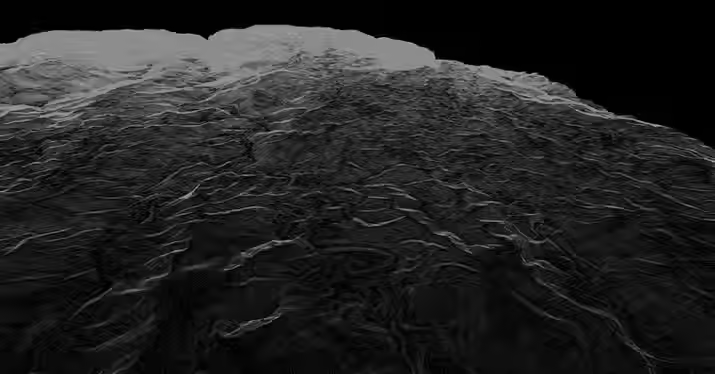
Founded in 1998, ABSD is the Philippines’ leading surveying firm, specializing in Aerial LiDAR, Bathymetric LiDAR, and advanced geospatial solutions. With over 300,000 hectares surveyed, ABSD serves major clients in renewable energy, transportation, and local governance, providing world-class data and innovative surveying solutions for the builders of tomorrow. Notable projects include Ninoy Aquino International Airport, worldbank-funded 1,000 KM Flood Mapping project, and San Juanico Bridge.
25+
YEARS OF EXPERIENCE
1000+
PROJECTS DELIVERED
300K+
HECTARES COVERED
200+
CLIENTS SERVED
Going above and beyond, always.
At AB Surveying and Development, Above and Beyond means delivering more than data—we provide clarity, speed, and confidence. With our own LiDAR equipment, aircraft, survey vessel, and 24/7 processing team, we ensure seamless coordination, strict quality control, and certified deliverables. Every project is guided by expertise and partnership, empowering clients to move forward with certainty.

Our Services
.jpg)


_edited.jpg)

Why Industry Players choose AB LIDAR.
Other Providers
AB LiDAR Surveying
Uses UAV with up to 122m altitude
Manual Processing
Up to 5-7 discreet returns
Susceptible to small tilts, rotations, or vibrations
Effective for small areas, but requiring multiple flights and data stitching
Uses manned aircraft up to 2,500m altitude
AI- Assisted Processing
Up to 15 discreet returns (for vegetated areas)
High-precision IMU for large areas
One flight covers vast areas, minimizing data fragmentation and ensuring higher accuracy.
It's time to switch to LIDAR.
Consult with one of The LIDAR Guys

We were amazed at how fast AB Surveying and Development's LiDAR mapping was as compared to conventional surveying methods.
With approximately 1,000 hectares of land area, the Kiangan, Ifugao project site was accurately generated as a topographic map and was very useful for the planning and design of the proposed Hucab Mini Hydro Electric Plant. The team was very accommodating and helpful in every step of the way, and they almost eliminated the need for physical site inspection because of their attention to detail!
Highly recommended to all our industry peers!
Patrick Talibon, Business Line Manager, Pacific Tech Solutions, Inc.


Always willing to help.
Not sure what you need? We’ll work it out together. Call us anytime and we’ll craft the perfect arrangement.