top of page

Best for: Shallow, clear waters, coral reef areas, coastal mapping, and disaster response surveys.
Aerial Bathymetric LiDAR Surveying
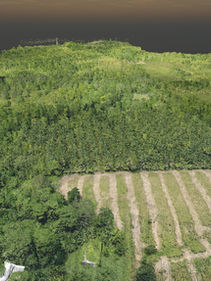
Aerial Bathymetric LiDAR technology offers rapid data collection and highly detailed mapping of underwater terrain, achieving up to 200,000 measurements per second with an accuracy of about 2 centimeters.
bottom of page


