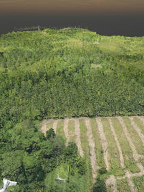
Best for: Ideal for large-scale land, flood, and geohazard mapping where vegetation penetration is crucial.
Aerial Topographic LiDAR Surveying
Aerial LiDAR scanning is when a laser scanner, while attached to an aircraft during flight, creates a 3-D point cloud model of the landscape. This is currently the most detailed and accurate method of creating digital elevation models (DEM), replacing photogrammetry. One major advantage in comparison with photogrammetry is the ability to filter out reflections from the vegetation from the point cloud model to create a digital terrain model (DTM) which represents ground surfaces such as rivers, paths, cultural heritage sites, etc. which are concealed by trees. Aerial LiDAR survey can also be used to create bathymetric models in shallow waters.


