top of page

Best for: Supports exploration, feasibility studies, and site monitoring in mining and energy projects.
Mining Survey
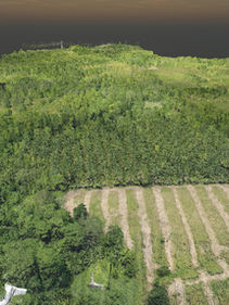
Accurate detailing of different elements or parts of a mining site and energy plants makes a reliable engineering design. The capability of LiDAR Technology in baseline mapping and detailed as-built of structural or industrial facilities is ideal for exploration, resource management, terrain mapping, inspection survey, and feasibility studies. The LiDAR data may serve useful for multiple purposes from planning to operations, volume computations, site monitoring, and rehabilitation.
bottom of page


