top of page

TERRESTRIAL
LIDAR SURVEYING
For Architectural and As-Built Survey.
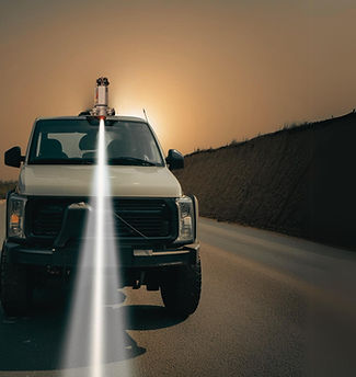
Terrestrial LiDAR Surveying is a ground-based laser scanning method used to capture highly accurate 3D measurements of buildings, landscapes, and other surface features. Unlike aerial LiDAR, terrestrial systems are mounted on tripods or vehicles and scan from the ground level—ideal for detailed and close-range mapping.
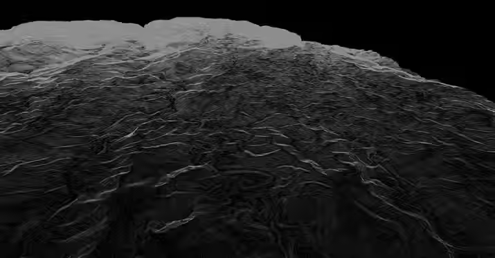
At AB Surveying & Development (ABSD), we use terrestrial LiDAR technology to deliver high-resolution 3D models that support structural monitoring, infrastructure planning, mining operations, and heritage conservation. This scanning method is perfect for areas that require precise detail—like tunnels, building interiors, industrial plants, or excavation sites.

Faster Fieldwork

Higher Accuracy

Richer Details

Smarter in Cost
OUR LIDAR SERVICES
.jpg)

WHAT'S MAKING TERRESTRIAL LIDAR POSSIBLE?
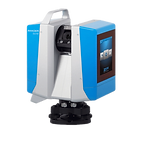
Z+F IMAGER® 5016
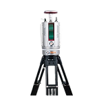
RIEGL VMZ 2000

FARO FOCUS X330
AB Surveying and Development employs survey-grade terrestrial LiDAR systems designed for precise, high-density data capture across complex sites and large areas. Our ground-based solutions ensure fast, accurate, and reliable acquisition, delivering high-quality outputs for engineering, construction, infrastructure, and asset documentation. Supported by advanced equipment, efficient project planning, and expert personnel, we go beyond traditional surveying to provide comprehensive, value-driven terrestrial mapping solutions.


OTHER SERVICES


bottom of page