![[ABSD] White Logo.png](https://static.wixstatic.com/media/c6ec9d_74fae8190bdc4b4bbae4d07cc36b8aff~mv2.png/v1/fill/w_193,h_48,al_c,q_85,usm_0.66_1.00_0.01,enc_avif,quality_auto/%5BABSD%5D%20White%20Logo.png)

LiDAR Surveying for
Agriculture
Productive, sustainable agriculture in the Philippines depends on understanding the land — its terrain, drainage patterns, soil distribution, and water flow. AB Surveying and Development provides aerial and mobile LiDAR surveying for agricultural developers, irrigation engineers, government agencies, and farm managers — delivering the terrain data, drainage models, and crop mapping products that improve farm productivity, reduce water waste, and support evidence-based agricultural planning across the Philippines.
Challenges we solve
Common Challenges in Agriculture and How LiDAR Addresses Them
Challenges
Irrigation systems are inefficient because they weren't designed on accurate terrain data
Farm drainage problems reduce yields and damage crops but are difficult to diagnose without accurate terrain data
How LiDAR Helps
Inefficient irrigation is one of the most significant constraints on Philippine agricultural productivity — and much of it traces back to irrigation infrastructure designed on coarse or estimated terrain data. Canals that don't follow true grade, distribution systems that leave high points unirrigated, and drainage channels that pond rather than drain are all symptoms of designing on imprecise topography. Aerial LiDAR terrain models at sub-meter resolution allow irrigation engineers to trace exact water flow paths, calculate precise canal gradients, identify optimal intake and distribution points, and design systems that work with the land's natural topography — reducing water losses, improving field coverage, and maximizing the return on irrigation infrastructure investment.
Waterlogging and poor drainage are among the most damaging and underdiagnosed productivity constraints in Philippine agriculture — reducing yields, creating conditions for root disease, and rendering low-lying areas uncultivable during the wet season. The problem is almost always rooted in a poor understanding of micro-terrain — subtle depressions, blocked natural drainage paths, and poorly graded field surfaces that conventional survey methods miss entirely. LiDAR-derived Digital Terrain Models reveal the exact drainage topography of agricultural land at the resolution needed to design effective solutions — identifying ponding areas, delineating sub-field catchments, and informing the placement of field drains, diversion canals, and pumping infrastructure that restores productivity to waterlogged land.
Large farm areas and plantations are too extensive to survey efficiently with conventional ground methods
Large-scale agricultural operations — sugar, pineapple, banana, and coconut plantations, large irrigated rice schemes, and diversified agribusiness estates — cover areas that are simply impractical to survey comprehensively using ground-based methods within the timeframes that farm management decisions require. Aerial LiDAR surveys cover hundreds of hectares per flight day, producing complete terrain and surface datasets for even the largest agricultural operations within days of mobilization — enabling farm management, irrigation planning, and land development decisions to be made on accurate, current spatial data rather than estimates and approximations.
Crop height and biomass estimation is inconsistent and labour-intensive across large growing areas
Estimating crop height and biomass across large growing areas using manual sampling is time-consuming, statistically limited, and highly dependent on the skill and consistency of field teams. The result is crop performance data that is too coarse, too late, and too variable to support precise farm management decisions. Aerial LiDAR simultaneously captures the bare-earth terrain model and the crop canopy surface — the difference between the two is a spatially continuous crop height model covering the entire growing area. This dataset supports yield estimation, identifies areas of poor crop performance that may indicate drainage problems, pest pressure, or soil variability, and enables harvest scheduling decisions based on spatial data rather than spot sampling.
Agricultural land use planning and land classification lack reliable spatial data
Agricultural land use planning in the Philippines — from DA crop zoning to LGU agricultural land classification under the CLUP — frequently relies on spatial data that is outdated, coarse, or inconsistent across agency sources. Decisions about which land to protect as prime agricultural land, where to allow conversion, and how to allocate irrigation water are made with significant uncertainty. LiDAR-derived terrain, land cover, and drainage data provides agricultural planners and government agencies with an accurate, current spatial baseline — supporting defensible land classification decisions, crop suitability assessment, and the protection of prime agricultural land from inappropriate conversion.
LiDAR Surveying Applications for Agriculture
From irrigation design to crop monitoring and land use planning, LiDAR supports evidence-based agricultural management across every scale of Philippine farming.
Irrigation System Design Support
Sub-meter terrain models for gravity-fed irrigation design — supporting canal alignment, gradient calculation, distribution system layout, and water flow modeling across irrigated agricultural areas.
Farm Drainage Design & Hydrological Modeling
LiDAR-derived catchment delineation, flow path mapping, and depression identification — providing the hydrological basis for farm drainage system design and waterlogging remediation.
Plantation & Large Farm Coverage
Rapid aerial LiDAR survey of large-scale agricultural operations — delivering complete topographic and surface datasets for plantations, irrigated schemes, and agribusiness estates within days of mobilization.
Farm Terrain & Topographic Survey
Aerial LiDAR baseline survey of agricultural land — capturing terrain, field boundaries, drainage features, and existing infrastructure for farm planning, irrigation design, and land development assessment.
Crop Height & Canopy Mapping
Aerial LiDAR capture of crop canopy surface relative to bare-earth terrain — producing crop height models for yield estimation, harvest scheduling, and varietal performance assessment across large growing areas.
Agricultural Land Use & Crop Suitability Mapping
LiDAR terrain and land cover data for agricultural land classification, crop suitability assessment, and prime agricultural land identification — supporting DA, NIA, and LGU planning processes.

What Our Clients Get:
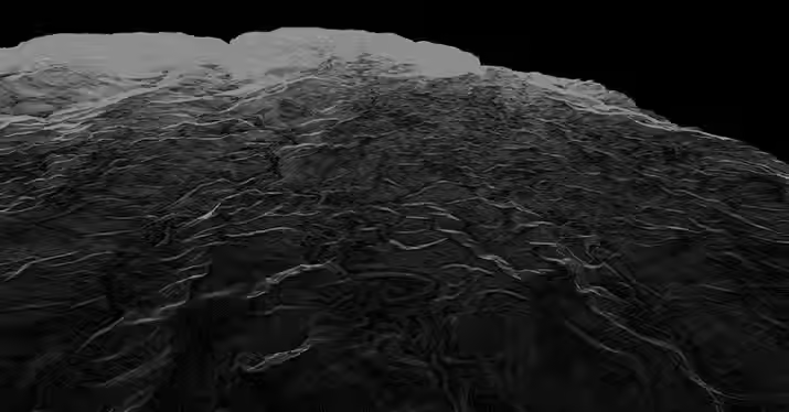
3D Colorised Point Cloud Data
A point cloud data containing millions of precisely located points overlaid with orthophoto RGB creating a realistic 3D city model.



Our Services
.jpg)


_edited.jpg)

We were amazed at how fast AB Surveying and Development's LiDAR mapping was as compared to conventional surveying methods.
With approximately 1,000 hectares of land area, the Kiangan, Ifugao project site was accurately generated as a topographic map and was very useful for the planning and design of the proposed Hucab Mini Hydro Electric Plant. The team was very accommodating and helpful in every step of the way, and they almost eliminated the need for physical site inspection because of their attention to detail!
Highly recommended to all our industry peers!

Patrick Talibon, Business Line Manager, Pacific Tech Solutions, Inc.